Drone Services Throughout California’s Central Coast
Almanac Drone Solutions provides professional drone services throughout San Luis Obispo County, Santa Barbara County, and surrounding Central Coast communities.
We provide aerial imaging, drone mapping, thermal imaging, 3D modeling, real estate photography, roof inspection support, construction progress documentation, and other commercial drone services.
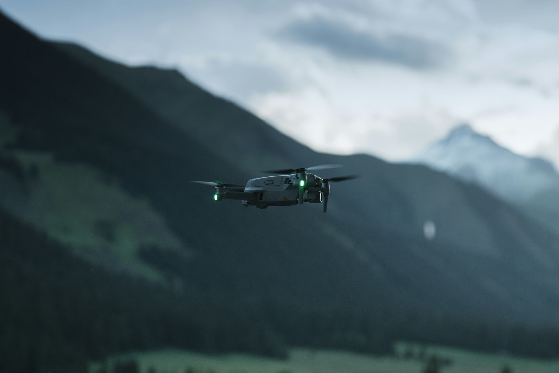
Commercial Drone Services
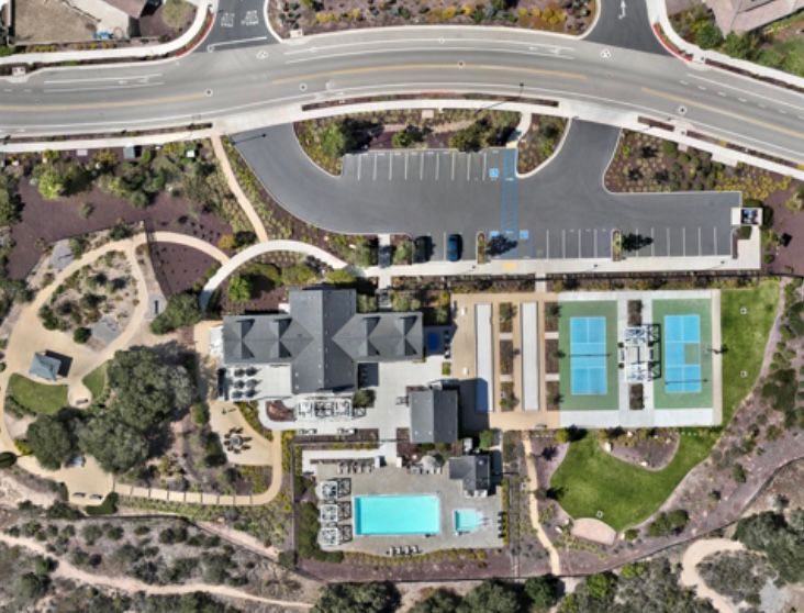
Drone Mapping & 3D Modeling
Aerial mapping, orthomosaic imagery, 3D models, and site documentation for construction, property, and other commercial applications.
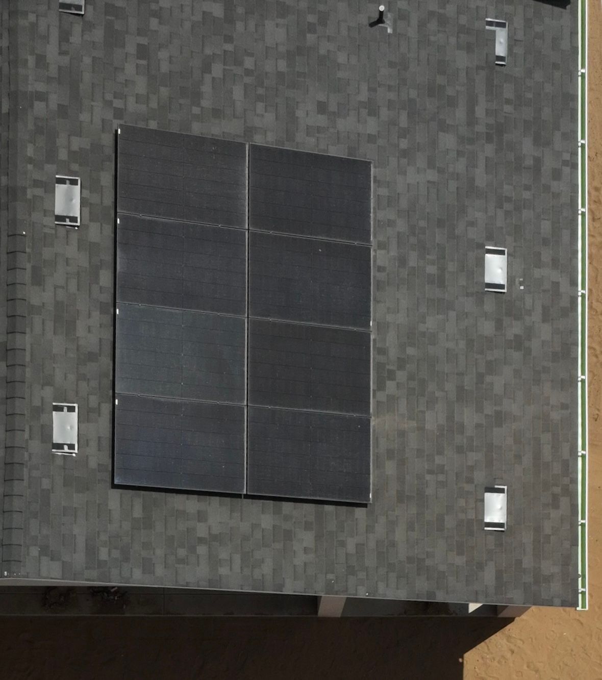
Thermal Drone Imaging
Aerial thermal imagery for roofs, buildings, solar systems, and other inspection applications. Professional analysis can be coordinated with qualified third-party professionals when required.
Roof Inspection Support
High-resolution aerial imagery and thermal data collection to help document roof conditions and identify areas requiring further evaluation.
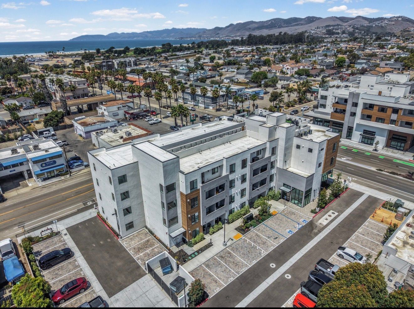
Construction Progress Monitoring
Regular aerial photography, video, mapping, and documentation to track project progress.
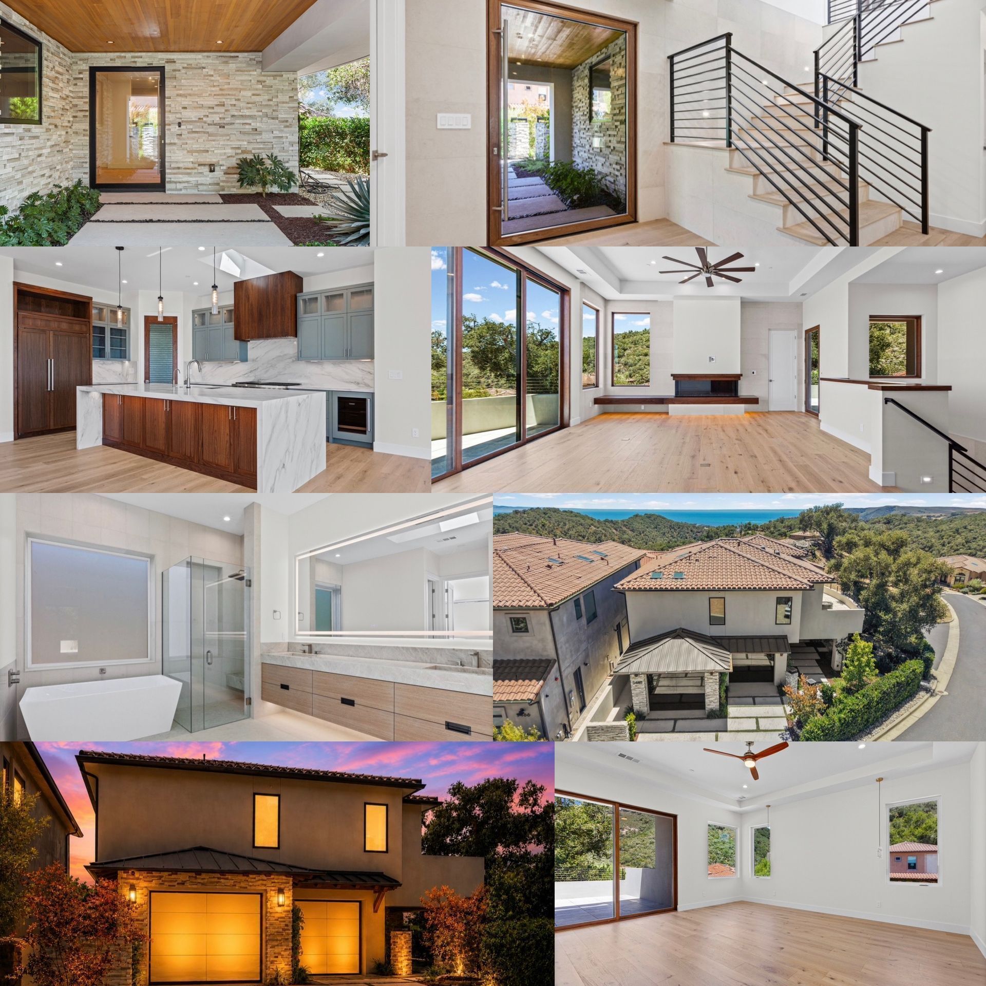
Real Estate Photography
Professional aerial photography and video for residential and commercial properties.
Commercial Drone Services
Customized aerial imaging and data-collection solutions for businesses, contractors, property professionals, and other organizations.
Professional & Accurate
Almanac Drone Solutions is an FAA Part 107-certified commercial drone operator focused on providing reliable aerial data and imagery.
Almanac Drone Solutions is not a licensed land surveyor, engineer, or certified thermographer. Surveying, engineering, professional thermography, or other licensed professional services can be coordinated with appropriately qualified professionals when required.
Serving San Luis Obispo County, Santa Barbara County, and the Central Coast of California.

Our Service Area

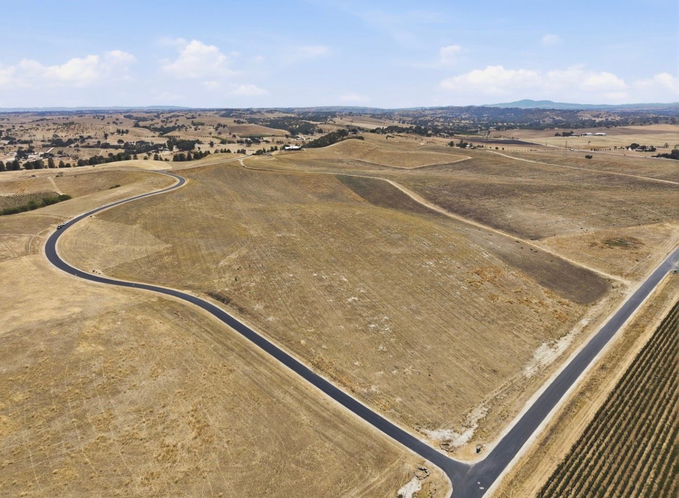
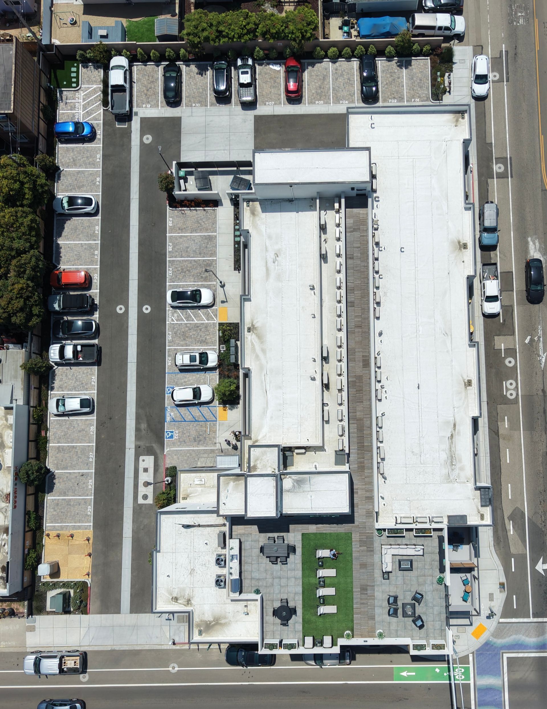
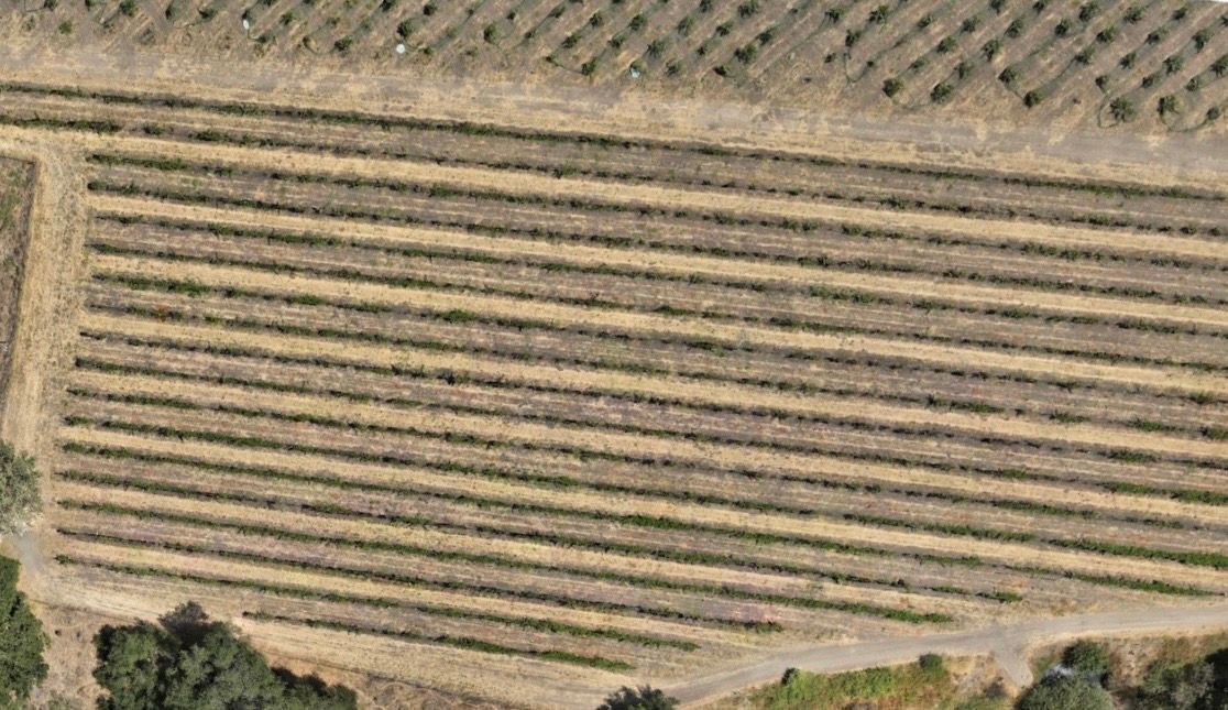
Customer reviews

Daniel K.
"I honestly received the best service I could have asked for. They were super professional to deal with; they met all my needs and helped me a lot."

Ron H.
"The entire experience was so easy and friendly, and the price was very reasonable. I don't know what I would have done without them."

James F.
"I can't say enough good things about the quality of this company. Highly, highly recommend using them!"
Special features

Custom service